Mapping the Port
A giant map about Newcastle Port designed by you!
Illustrator Liz Anelli has been working with the community to make a giant map all about Newcastle Port. It’s situated on the outside wall of The Maritime Centre, will live there for at least five years - and be seen by 100s and 100s of people.
Measuring nearly 4metres wide by 3 metres high it shows what happens where, describing all aspects of harbour life in pictures, diagrams and words.
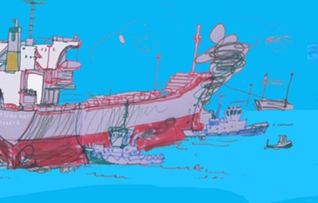
Liz held a number of drawing days at the Museum to help create the map - and got some fantastic pictures. See the drawings done by visitors to the Museum.
About the Mapping the Port project
The Mapping the Port project is the brainchild of illustrator Liz Anelli. After many months of on-site sketching and interviews she created annotated drawn maps that tell some of the personal as well as industrial stories of daily life in the Port of Newcastle, NSW. Although there are many stunning photographic and video records there are no such drawn narratives in public existence.
The Port of Newcastle is a complex dynamic confluence for people, environment and industry. It is the living heart of the city. You can hear the ship’s hooting from across town, in the middle of the night. It is a refreshingly prosperous hive of activity and is a quickly growing vital part of Australian economy, a centre for international trade. As journalist Phil Ashley-Brown says in ABC Radio Newcastle’s River Stories “The Hunter River isn't as well known as some of Australia's big waterways like the Murray or Darling yet the Port of Newcastle is the biggest coal loading port in the world”. At a time when foreign migration is a big topic of discussion the port welcomes multi-national workers and ships alike.
The Port also hosts a myriad of related industries and leisure businesses as well as being home to Australian wildlife. Most of us have some connection - be it directly through work, leisure or curiosity – and yet who knows the bigger picture? What are the intricate interconnections and patterns? We see coal train lines snaking under bridges, near and distant silos and cranes. We read the names of ships in the local newspaper that fill and refill daily, but how do they all fit together and what are some of their stories?
Follow the blog
You can follow this project on Liz Anelli's blog.
Supporters
The Mapping the Port is a Community Assistance Program for The City of Newcastle, supported by Newcastle Museum, The Maritime Centre, Newcastle City Council, Newcastle Port Corporation, Hunter Development Corporation and Port Waratah Coal Services.